The dry season, from May to October, favors more predictable roads and concentrations of animals around Etosha's watering holes.
NAMIBIA · WILDLIFE + ADVENTURE
NAMIBIA — DESERT & WILDLIFE
The most photogenic desert in Africa.
DURATION9 days
BEST TIMEMay–Oct
EXPERIENCEWildlife + Adventure
COUNTRYNamibia
THE JOURNEY
Route map
Windhoek → Sossusvlei → Etosha
The map loads when you reach this section.
FEATURED
Key highlights
1Sossusvlei Dunes
2Deadvlei
3Etosha National Park
4Safaris in Etosha
5Namib Desert
6Sunset in the dunes
Sossusvlei and Deadvlei deliver some of the most photogenic desert landscapes in Africa; Etosha adds safaris around its waterholes.
SEASONALITY
When to go
A STARTING POINT
Suggested base itinerary
DAY 1
Arrival in Windhoek
Arrival in Windhoek and preparation for the crossing through the interior of Namibia.
DAY 2
Windhoek → Sossusvlei
Route from Windhoek to Sossusvlei, gradually entering the arid landscapes of Namib.
DAY 3
Sossusvlei: dunes and desert
Dawn among the dunes of Sossusvlei and visit to Deadvlei, with time to walk and photograph the desert formations.
DAY 4
Sossusvlei in photographic rhythm
Second day in Namibe for canyons, dunes and late afternoon light, without mixing in the safari phase that will come later.
DAY 5
Sossusvlei → Etosha
Long drive towards Etosha, changing from desert environment to plains of wildlife.
DAY 6
Etosha: safari
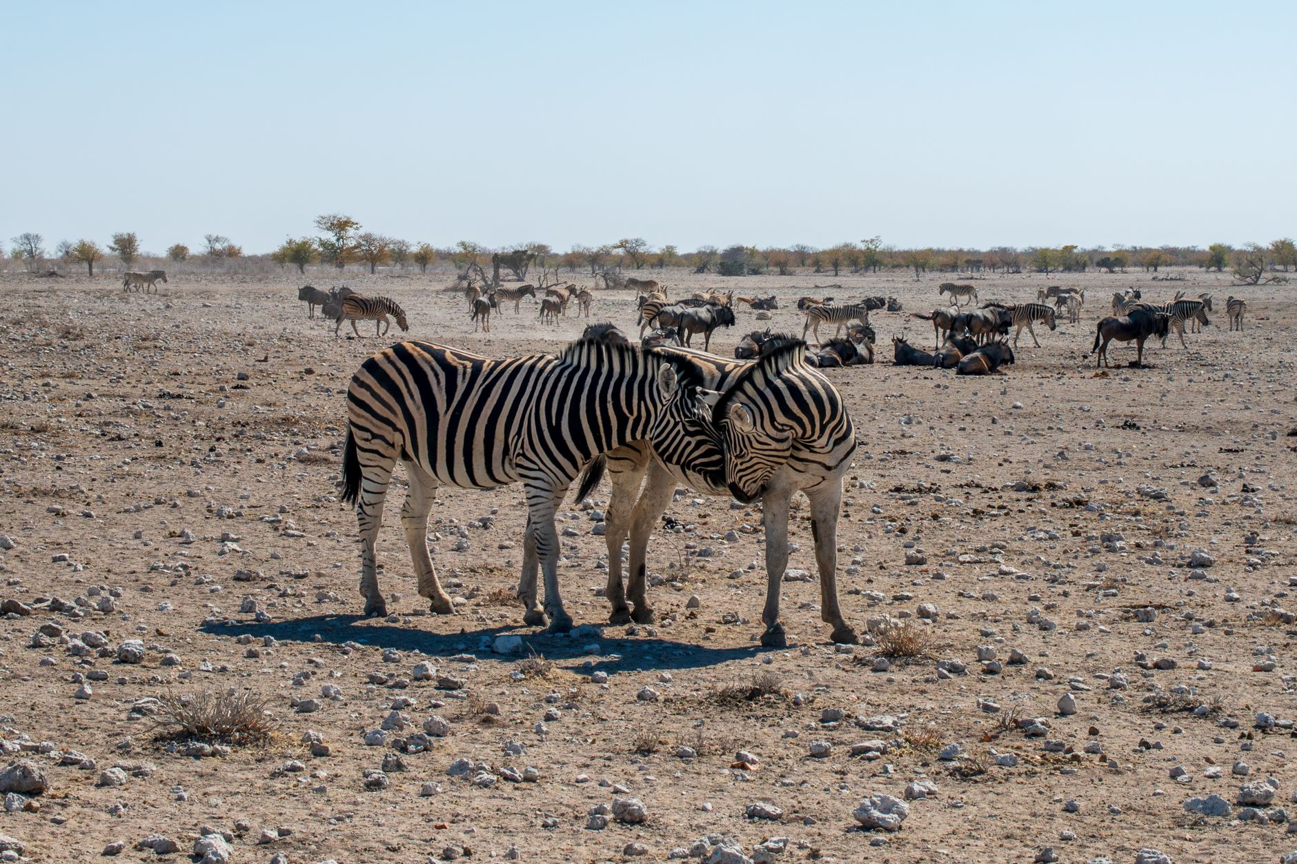
Safari in Etosha paying attention to the waterholes and the fauna that gathers around them in the dry season.
DAY 7
Etosha: second day of safari
New day of safari looking for different areas of the park and species that change according to time and region.
DAY 8
Etosha with wildlife viewing edge
Last day of observation in Etosha, with departures adjusted to the behavior of the fauna and the location of the lodge.
DAY 9
Closing
Closing and leaving the park.
THE EXPERIENCE
The spirit of the journey
Namibia alternates the silence of the Namib with safaris in Etosha, uniting monumental dunes, salt flats and wildlife.
YOUR WAY
I want to design my trip now!Customize your trip
This itinerary is a starting point. Order, duration, hotels and experiences can be customized to your pace and interests.